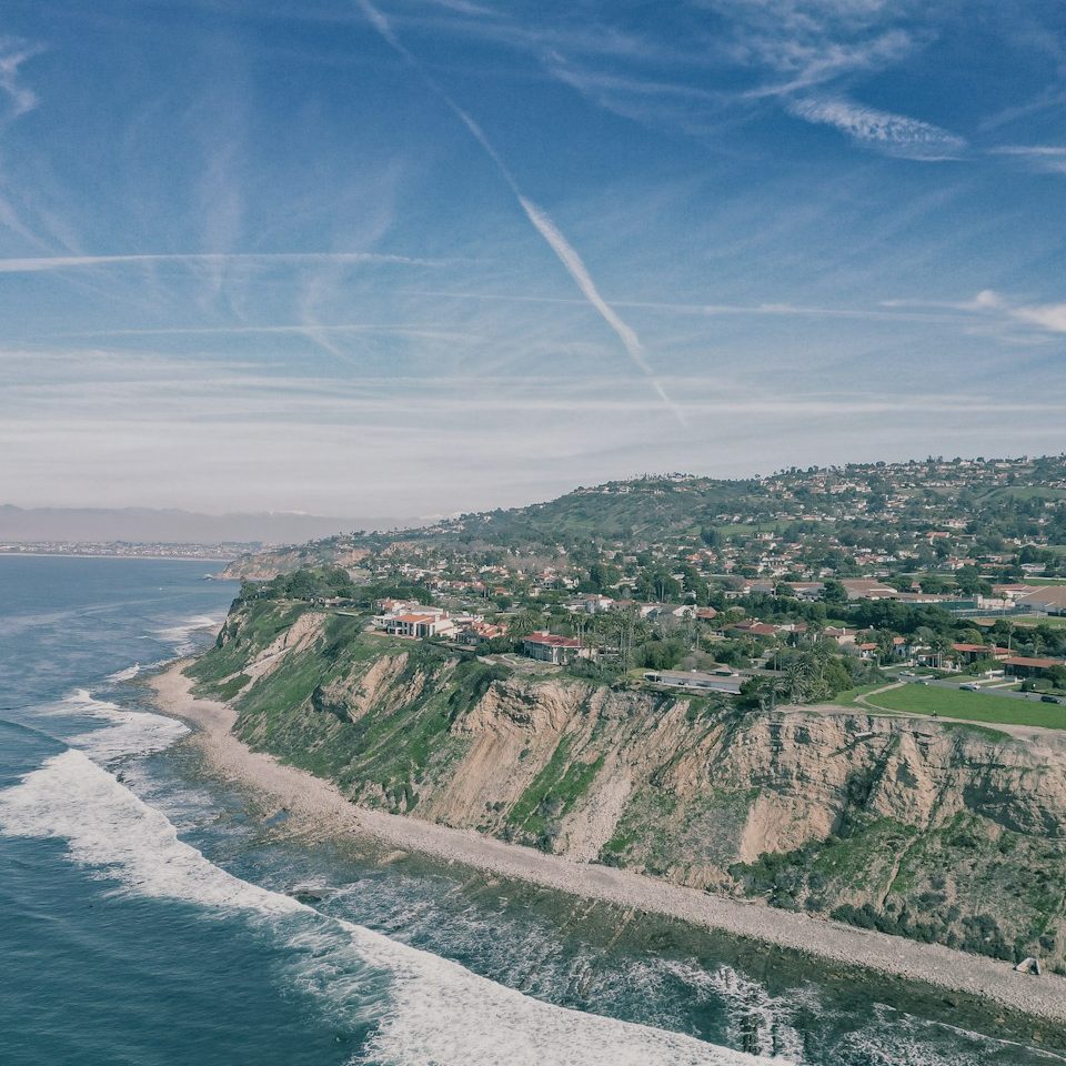
Elevate Your Vision with Aerial Excellence
Experience cutting-edge drone photography and video that showcase properties, promote businesses, and capture precise land data with professional creativity.
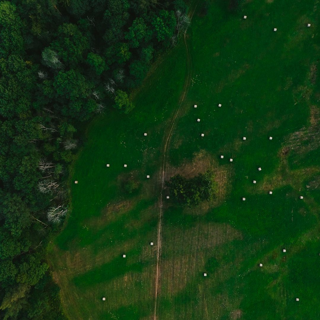
Innovative Aerial Solutions for Every Industry
FlytView leverages advanced drone technology to deliver striking aerial images and video that empower real estate professionals, business marketers, and land surveyors to stand out and achieve their goals.
500+
Satisfied Clients Served
1.5k
Properties Showcased
300+
Successful Land Surveys Completed
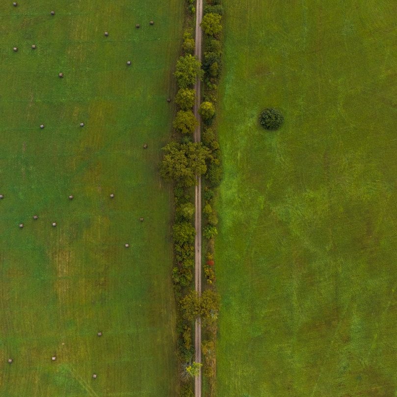
Cutting-Edge Drone Equipment
Utilizing the latest drone technology to produce crisp, clear, and dynamic visuals every time.
Expert Aerial Photography
Skilled pilots and photographers delivering professionally composed aerial imagery tailored to your needs.

Versatile Industry Applications
Services designed for real estate, business marketing, and precise land surveying projects.
Reliable and Timely Delivery
Committed to fast turnarounds without compromising quality, ensuring you get your content when you need it.
